
For centuries, farmers have relied on visual estimates and experience. Today, farming increasingly relies on scientific findings and modern technology. Measurement technology can provide objective criteria to make agriculture more efficient, in order to cover the food demand of a growing world population. With optical measurements from the air, large areas of agricultural land can be quickly surveyed and evaluated based on measurement data.
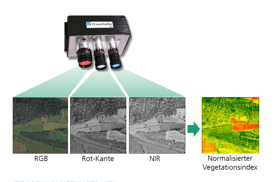
Concepts such as precision farming use satellite or aerial remote sensing data to monitor the state of food crops against the normalized difference vegetation index (NDVI). The results can help improve cultivation. Up until now, satellite and aerial remote sensing data have been relatively imprecise.
Optical determination of plant vitality and height
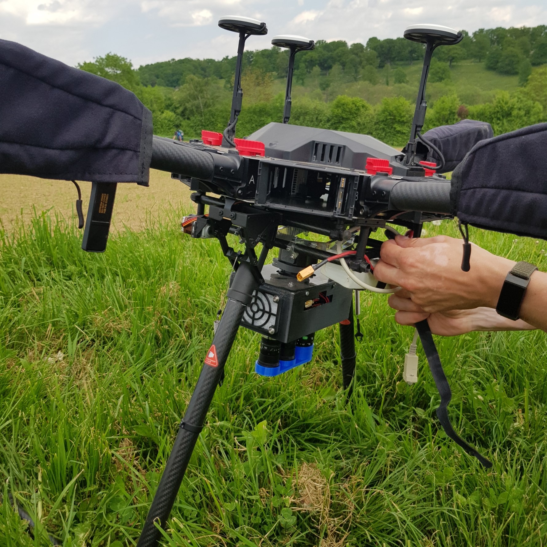
At Fraunhofer IPM, we’re developing ultra-lightweight camera systems and LiDAR sensors for use on UAVs (unmanned aerial vehicles, or drones). The systems gather local georeferenced data at a very high resolution. The images captured by multispectral cameras provide insights into plant health. Plant height can be derived from geometric measurements using LiDAR sensors.
