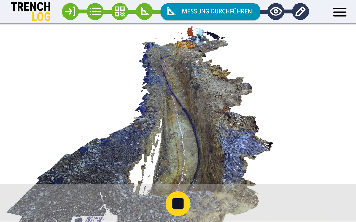
Easy and accurate construction process documentation
There is a great demand for simple and fast, but accurate construction documentation for the construction and maintenance of buildings, roads and supply infrastructure. Proper geodetic measurements for construction documentation are time-consuming, require experts and expensive measuring devices such as laser scanners, tacheometers, etc. Geodetic measurement data often exceeds the accuracy requirements and the vast amount of data needs to be integrated into the overall process and simplified.
Camera chips and processing units in mobile devices have improved dramatically in the last few years. Many measurement tasks with low accuracy requirements can be performed with smartphones or tablets: With software methods such as structure from motion, stereo vision and time-of-flight cameras, normal mobile devices or commercially available camera systems can be sufficient to capture surroundings in 2D and 3D.
We combine these sensors with our proprietary apps, which guide users through the imaging process and provide immediate feedback and assistance, ensuring high-quality measurements.
Cost-effective, user-friendly and quality assured
The data collected with these methods can be evaluated depending on the application, either in real time on the device, later in the cloud or on-premises. It may also be semantically enriched using artificial intelligence, for example. The result is saved, sent or uploaded to a cloud in the required format, such as a plan or a CAD drawing. Low-cost sensors combined with customized apps are the most cost-effective, user-friendly and quality-assured method to survey or document – with no measuring expertise required.
