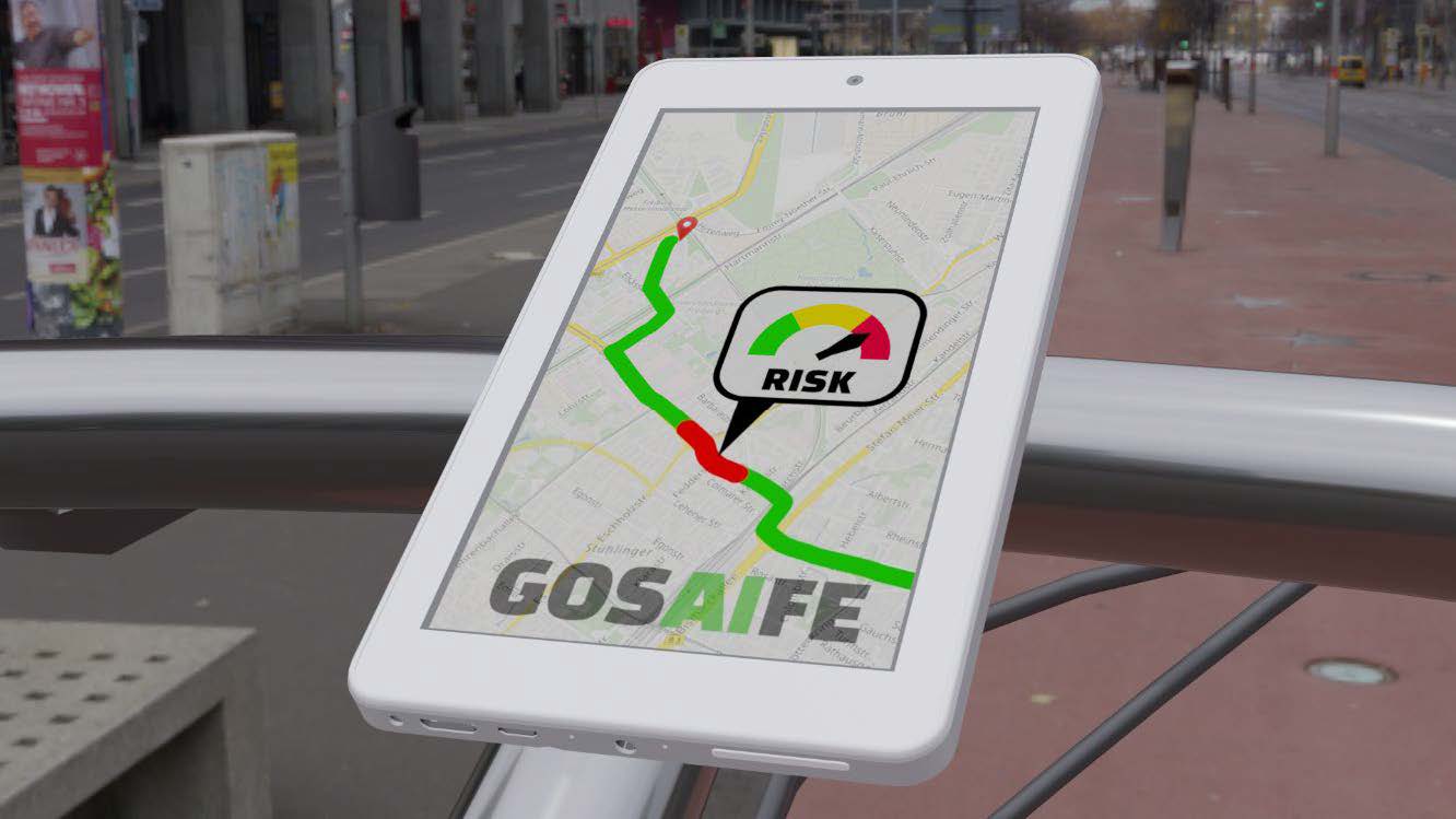
Navigation systems and sensors such as cameras and radar systems support road users in finding the fastest and best route to their destination. Until now however, safety has not been taken into consideration in route planning – hazards are not detected until they surface. People and vehicles on the road can only react once the event has already occurred.
Early recognition of potential hazards
The aim of the GOSAIFE project is the detection of potential hazards before they occur and to warn road users of these in plenty of time. Through controlled speed, increased attention or an alternative route, hazards such as road damage, large gatherings of people or dangerous intersections could be alleviated and/or avoided.
Automated identification of a risk score using AI methods
AI methods for automated object recognition form the central element of the project in which an artificial neural network (ANN) analyzes GPS-referenced data in the urban environment. This automatically identifies and classifies potentially hazardous objects and situations. Based on this information, the hazards are assigned a risk score which is factored into the navigation application or which can be displayed on a map.
Accurate risk assessment with cost-effective technology
A comprehensive database is essential for an accurate risk assessment, that is, for example, tailored to different times of day. The project is to implement a recording system that is as cost-effective as possible in order to meet the requirement for extensive data logging. The use of camera images will allow local conditions, for example road damage, to be identified more accurately than would be possible with conventional map data or road accident statistics.

