


3D data: The raw material in digitization
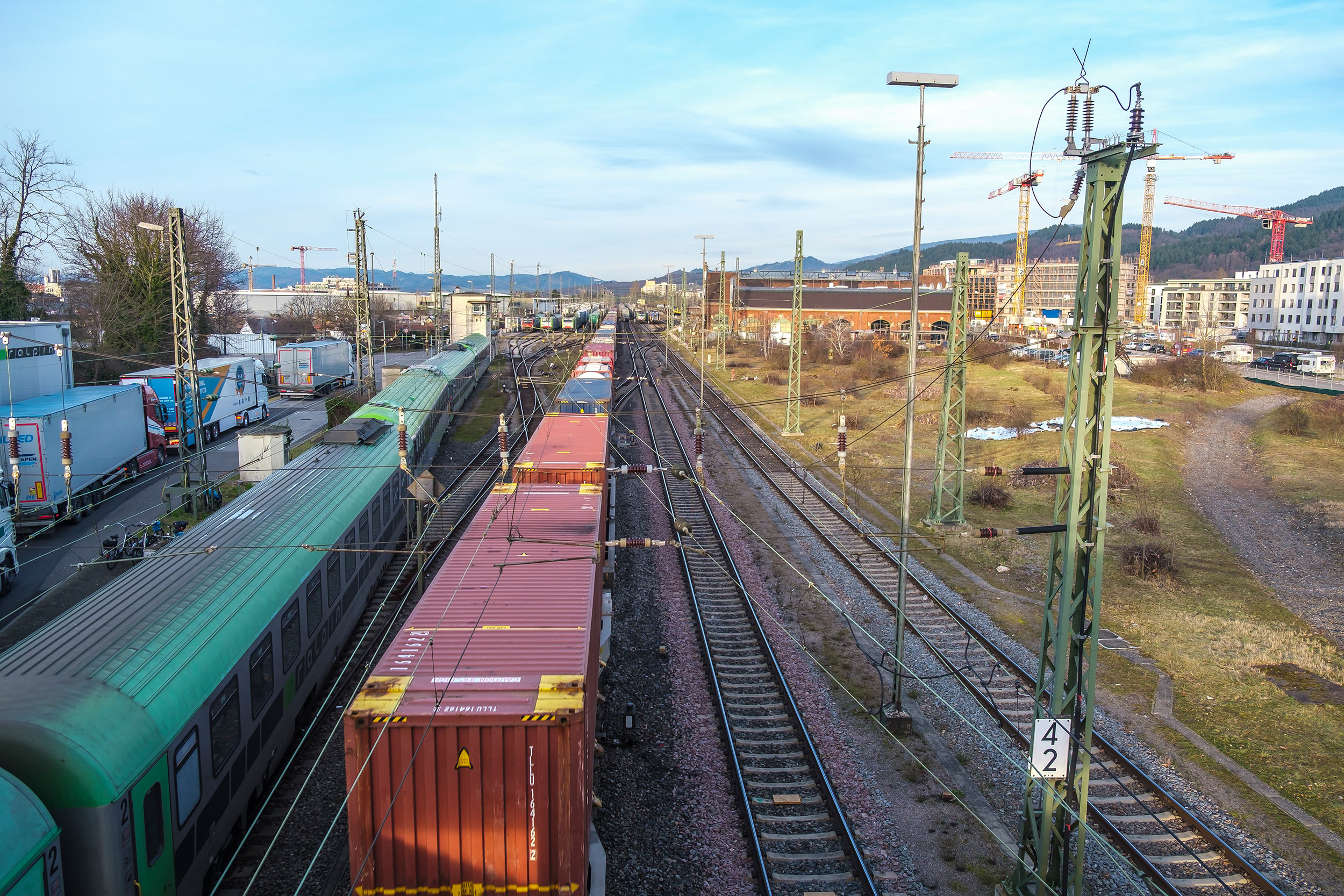
Digitization of the environment and objects is becoming increasingly important: Digital images of reality are the basis for planning processes or (predictive) maintenance, for example of urban infrastructure. Digitization always starts with the creation of a digital image of real objects in the form of a 3D model. Fraunhofer IPM develops measurement systems for mobile use on rail tracks and roads, in the air or under water. The laser and camera based systems capture large structures fast and thus cost-efficiently.
3D data of rails, roads, bridges or buildings are a valuable basis for servicing and maintenance. It is now also possible to monitor large swaths of land using mobile laser scanners. For instance, this allows geohazards to be detected at an early stage or the state of vegetation over large areas to be mapped.
The amount of data increases dramatically with the degree of digitization: Capturing only one kilometer of road generates several gigabytes of data. Managing these data presents many companies with considerable challenges. In most cases, it is not the raw data that is of interest, but rather its interpretation – in the case of road measurements, for instance, parameters such as transverse evenness or crack density. Fraunhofer IPM therefore provides not only measuring systems but also consistent processing and intelligent, semi-automated interpretation of the recorded data. This data is transferred to the respective system by means of suitable interfaces.