Start of the »NEXT.TrenchLog« project in cooperation with Bayernwerk Netz GmbH
Digitization in the building pit: Georeferenced survey data via app
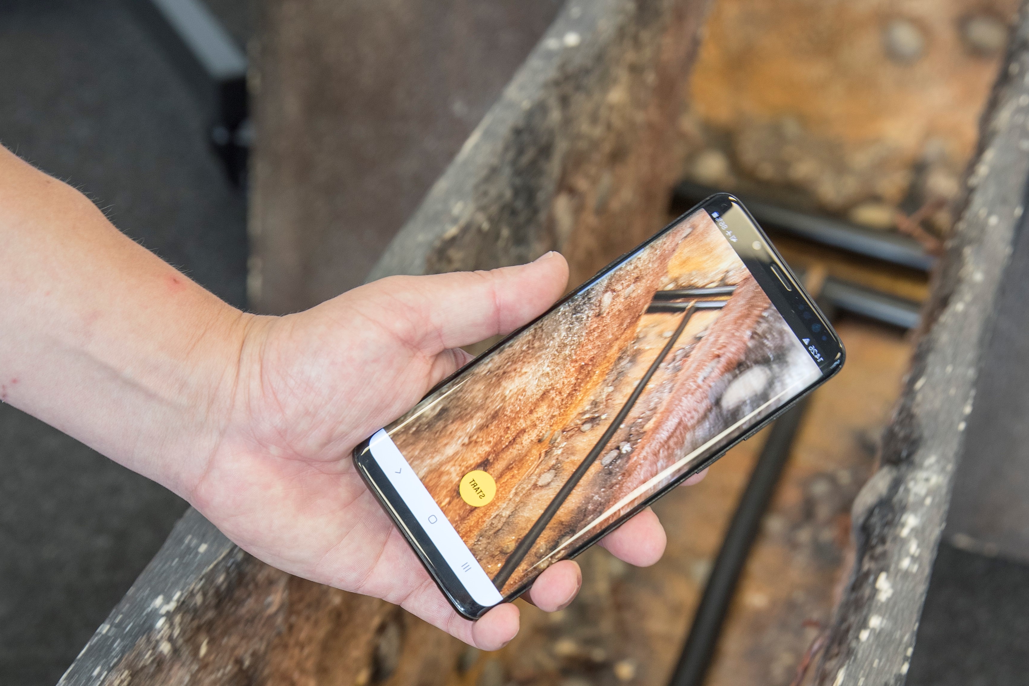
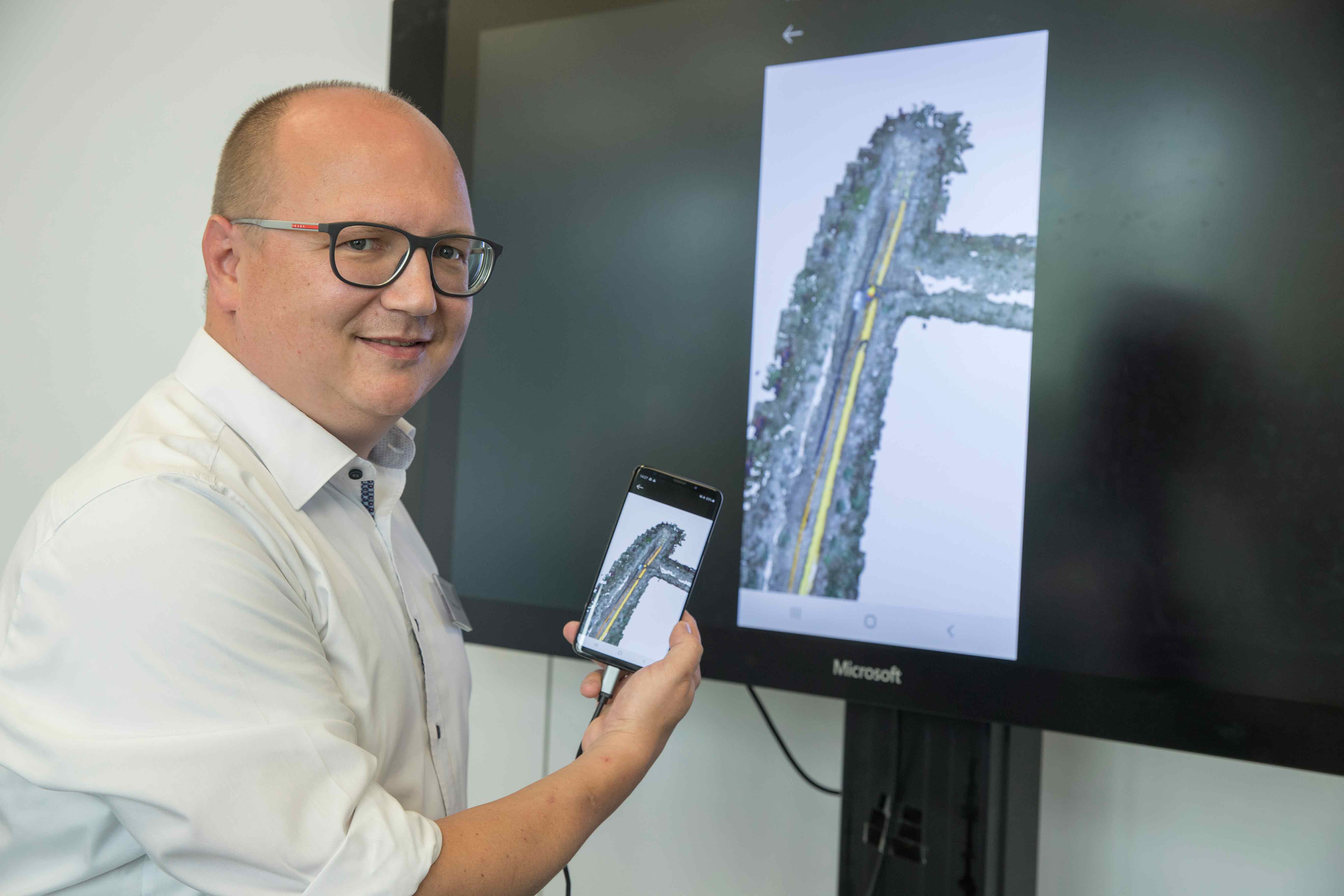
In most cases, network infrastructure operators still use analog methods to keep records where cables have been laid and lines have been drawn in the ground. This manual process is time-consuming and requires a lot of experience. Fraunhofer IPM has recently launched the »NEXT.TrenchLog« project in cooperation with Bayernwerk Netz GmbH, developing a digital solution for the documentation of underground infrastructure: Using artificial intelligence, the system automatically generates georeferenced 3D data of the components.


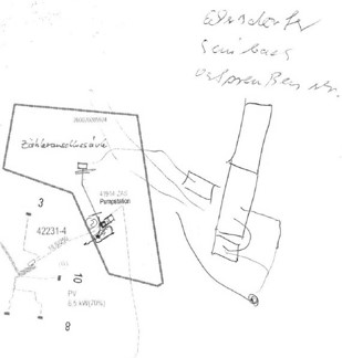
The German power grid is about 1.8 million kilometers long, with more than 80 percent of the lines underground. Gas pipelines, speed pipes for the fiber optic network and many others supplement the underground network. To ensure reliable planning and to prevent accidents, network operators are obliged to draw up precise site plans when laying lines. Usually, hand-drawn sketches are made on site; post-processing is time-consuming and complex. The digitization of processes will make the documentation much more efficient.
Bayernwerk Netz GmbH – Bavaria’s largest network operator – has now contracted Fraunhofer IPM to develop the software »NEXT.TrenchLog«, which enables digitized documentation of underground infrastructure. A first prototype has already been developed in a feasibility study, and is now to be extended and optimized. »Our goal is an automated process that allows us to quickly and easily generate reliable georeferenced 3D data of building pits and the pipes located therein, using a mobile device (table PC)«, explains Prof. Dr. Alexander Reiterer, head of the department »Object and Shape Detection« at Fraunhofer IPM.
Object recognition through artificial intelligence
For the project, an outdoor laboratory will be set up on the new institute premises of Fraunhofer IPM, where the development can be continuously tested and evaluated. In this laboratory, an extensive image database of cables and connectors will be created and used to train an algorithm that automatically recognizes the objects. Further data from field tests will be used to extend and optimize the neural network.
»An important step towards the digital future«
The new tool is of significant importance. »NEXT.TrenchLog is the world's first tool to use artificial intelligence for the generation of georeferenced data for grid expansion. This is an important step into the digital future for us«, says Jürgen Kandlbinder, head of the »NEXT« (New Experience with digital Technologies) innovation platform at Bayernwerk Netz GmbH and responsible for the project. Further development for other types of lines, such as water or district heating lines, is both conceivable and possible.